 |
| We took a little WeNeil & Wendy Cycle Scotland & France 2018 | ||
| Previous Page | Menu | Next Page |
| Gartmore, Scotland | ||
| 9th June 2018 | ||
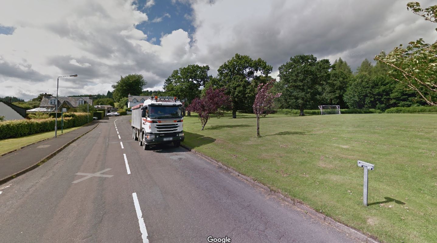
This is what the park looks like today, courtesy of Google maps, drag the little pink man icon and drop it on the road and then follow it along the route to find the actual town name. In this case I remembered that we had travelled uphill into a villlage, turned hard left and there was the car club in a large park. Google maps reproduced it exactly, apart from the truck parked on the side of the road. Strathendrick Car Club was a regional car club that travelled all around the south of Scotland. Apparently it no lomger exists. We took a small break and wandered around looking at the cars, especially the MGB that was a ringer for ours. We couldn't stay too long as a big storm was building up and headed straight towards us. |
||