 |
 |
| Yuraygir Walk | ||
| Previous Page | Menu | Next Page |
| Day Three | ||
| Sandon | ||
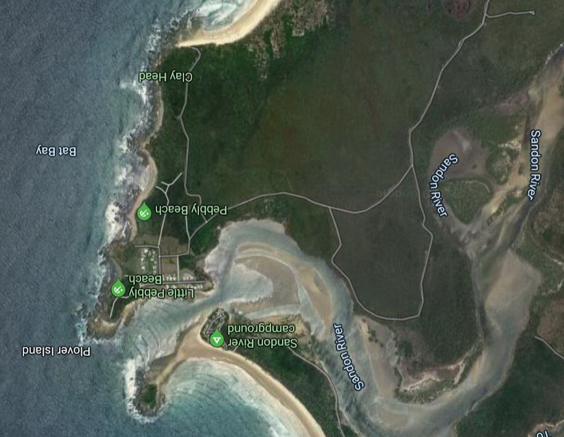
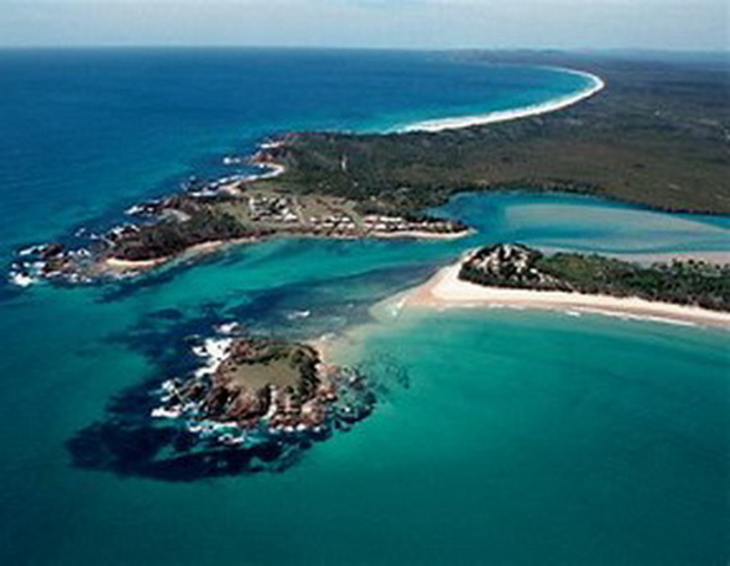
| Sandon, picture at right is taken from the north looking south. I have rotated the map to align more closely with the photo. The island in the foreground is only an island at high tide. There is a reasonably wide sand spit giving access to Plover Island at low tide. The actual township of Sandon is on the south side of the river and is only accesible by car from Minniewater. The Sandon River Camping Area is on the north side of the river and is a unique community of surfing fishermen. There appears to be a large percentage of permanent campsites with mobs of fishing and surfing gear. The boatman we could not contact is the very laid back ranger whose office is situated in the campground. It would appear that we woud have had no trouble in organising a ferry across the very narrow channel if we had peresevered with the original plan. |
||